代码如下
前置准备工作,全局安装 openlayer
准备本地或远程数据自行替代代码中数据变量
<template>
    <div id="map" ref="map"></div>
</template>

<script>
export default {
    data() {
        return {
            areaMap: null,
            hotLayer: null,
            allHotData: [
                { Longitude: x, Latitude: y }
            ]
        }
    },
    methods: {
        initMap() {
            let _this = this;
            let _Url = 'YOU MAP SERVER URL'  //  地图服务地址
            this.areaMap = new ol.Map({
                target: _this.$refs.map,
                view: new ol.View({
                    center: [Longitude, Latitude],               //地图中心点
                    projection: 'EPSG:4326',                    //  坐标系
                    maxExtent: [106.43, 29.13, 107.0, 29.77],   //限制可视区域
                    zoom: 11,                                   // 缩放等级
                    minZoom: 8,
                    maxZoom: 15,
                }),
                controls: ol.control.defaults().extend([
                ]),
            })


            // 热力图  图层
            this.hotLayer = null
            var heatPoints = [];
            var radius = 25;
            var blur = 40;
            // 取出所有的点 添加到 point数组中
            this.allHotData.forEach(item => {
                heatPoints.push(new ol.Feature({
                    geometry: new ol.geom.Point([item.Longitude, item.Latitude]),
                }))
            })
            this.hotLayer = new ol.layer.Heatmap({
                source: new ol.source.Vector({
                    features: heatPoints,
                    wrapX: false
                }),
                blur: blur,
                radius: radius
            });
            this.areaMap.addLayer(this.hotLayer);

        }
    },
}
</script>
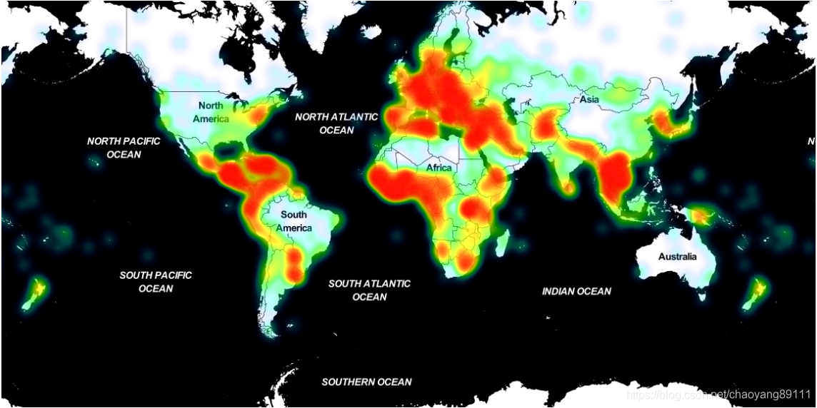
示例图如下

Comments | NOTHING